
Atlases and the Golden Age of Dutch Cartography
Wednesday, 13.09.17, 10:00
Monday, 09.04.18
:
Dr. Filip Vukosavović
More info:
046030800Until only a few years ago, atlas was a 'household name' around the world. Whether it was the road map atlas used on journeys, the history atlas used in classrooms, or the night-sky atlas used in observatories, atlases were an important tool in our daily lives.
Today, in the year 2017, atlases are all but gone. I doubt that there are many in the Generation Z that could tell what an atlas is or was. The forgotten relic that fell victim to the continuous avalanche of technological and digital innovations. Atlases evolved and transformed into the likes of applications such as Google Maps, Google Earth, Mobile Observatory and Waze – and some of them can even talk.
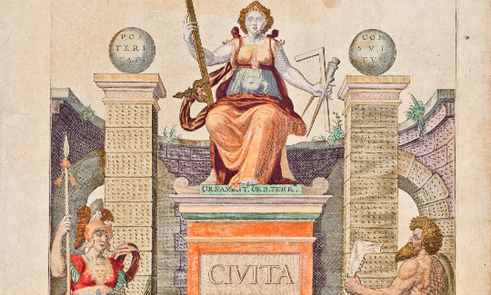
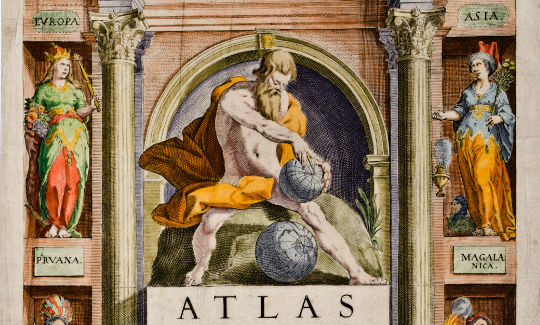
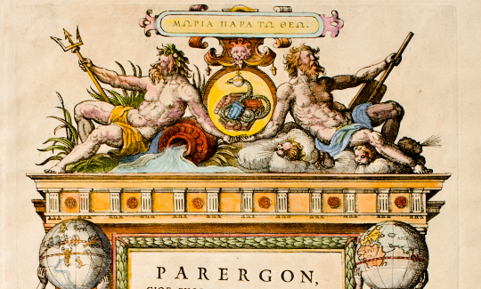
While the history of maps can be traced all the way back to ancient Egypt and Babylon, we had to wait until 16th century Italy and Holland to receive a modern atlas. Once first atlases came out of the printing press, they became some of the most beautiful, sought after and expensive books on the market.
Atlases exhibit at The National Maritime Museum Haifa offers a colorful peek into the Golden Age of atlas making, namely 16th and 17th centuries Holland and ingenious Flemish atlas makers such as Ortelius, Mercator, Blaeu and Mortier.
All items displayed in the exhibit (atlases and title pages) are part of the museum's rich and eclectic collection. The exhibit is presented in four languages: Hebrew, English, Russian and Arabic.
Free entree to the exhibitions for children and youth up to the age of 18 during Sukkot (6-11.10.17)
Entrance for children up to the age of 16 is conditional upon an adult accompanied by a fee!* Children over the age of 16 can enter without an adult * The offer is not valid for groups or student visits * Excludes events and workshops